Trying to follow Ireland’s west coast without a proper Wild Atlantic Way Ireland map is like turning up at the beach without your towel. You’ll survive, but you’ll wish you’d planned ahead. This coastline bends, twists, and forks into enough peninsulas to keep you guessing for days. Having the right map turns it from confusing to enjoyable, especially when you want to explore the parts that actually deserve your time.
Here you’ll find a straightforward breakdown of the main Wild Atlantic Way maps, what they show, and how they help. Cyclists get a nod too, because they tend to notice the parts where the maps make all the difference.
A guide to the different Wild Atlantic Way maps
There is no single map that works for everyone. You have an overview map for the big picture, route maps that break the coastline into sections, cycle maps that highlight gradients and safer roads, and digital maps that add layers for viewpoints and geological sites. Each has its role, and choosing the right one makes planning far easier.
A full overview map of the Wild Atlantic Way in Ireland
The main Wild Atlantic Way map stretches from Kinsale to Derry and covers roughly 2,600 kilometres (1,600 miles). It sets out the broad sweep of the coastline and highlights how the natural scenery changes as you head north. You move from long southern peninsulas into taller cliffs, then through wider expanses of bogland and into the wild headlands toward the top of the country.
The overview map is the best tool for deciding how much coastline to cover. The distances involved make it clear that trying to fit the entire route into a couple of days is unrealistic.
Route map breakdown: how the Wild Atlantic Way is divided and what each part reveals
This is where the detail starts. The Wild Atlantic Way route map divides the coast into the peninsulas, bays, and inland diversions that define the west.
These divisions matter because each area has a different character. For example, in the south-west counties of Cork and Kerry alone, you’ll find:
- The Mizen Peninsula has a spectacular end-point that many visitors accidentally skip because they didn’t notice the spur road on the map.
- Sheep’s Head is compact but scenic with narrow tracks and ocean views.
- Beara twists and rises in a series of “rollercoaster” bends that feel made for slow travel.
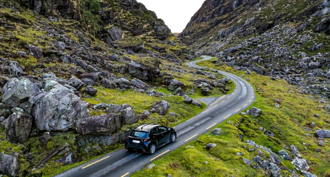
- Dingle has the famous Conor Pass, one of the highest accessible points on the WAW, which appears clearly on most printed and digital maps.
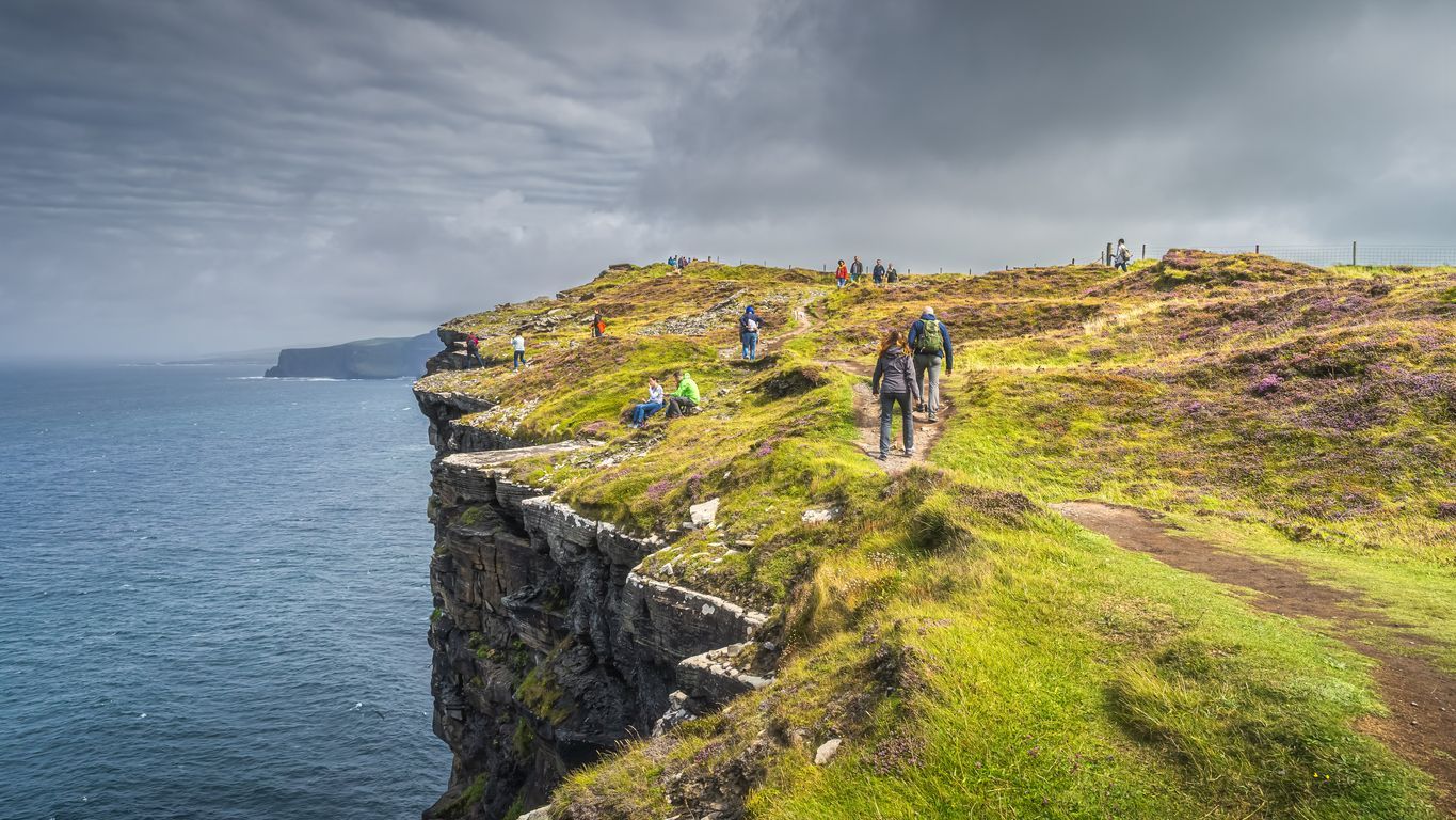
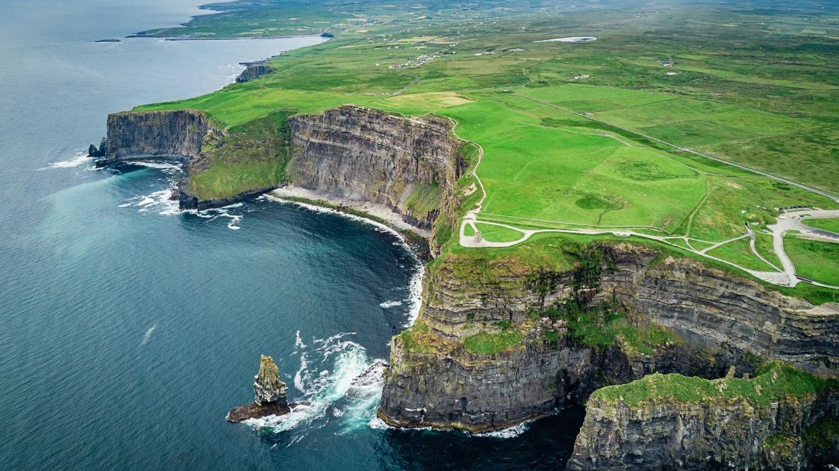
Further north, the map shows the contrast between the busy Cliffs of Moher and the quieter Loop Head Peninsula. Loop Head often appears on detailed layers because of its tall seabird colonies and sea stacks, while the Burren is mapped for its limestone terrain and archaeological features.
As you move into Mayo and Donegal, the map highlights Killary Fjord, Glenveagh’s valleys, and long inland lakes.
The route map helps you judge distances more realistically and stops you assuming peninsula detours are quick. Trust us, they rarely are.
The cycle route map: the best mapped stretches for cyclists
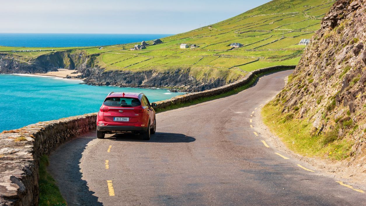
Cyclists read maps differently to drivers. Road width, gradients, surface quality, and traffic flow matter more than anything else. The Wild Atlantic Way cycle route map highlights the stretches that suit that style of travel.
It also highlights traffic-free routes, such as the Great Western Greenway from Westport to Achill Island. This is a welcome break from busy roads and offers views that normally require far more climbing.
Not every part of the WAW is as comfortable. The Ring of Kerry’s main road has a narrow shoulder, so the cycle map is helpful for finding quieter loops or sheltered inland alternatives. It also shows options that avoid the most exposed headlands when the weather is unsettled.
Main points of interest marked on the maps
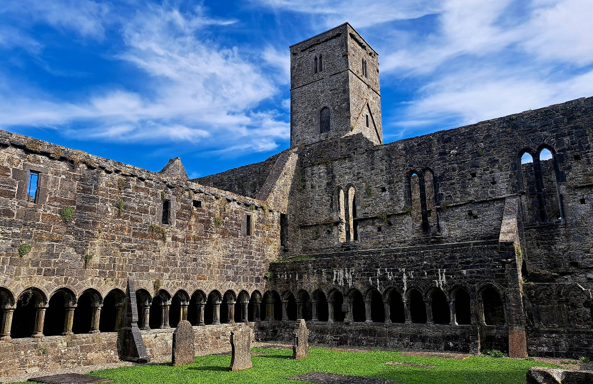
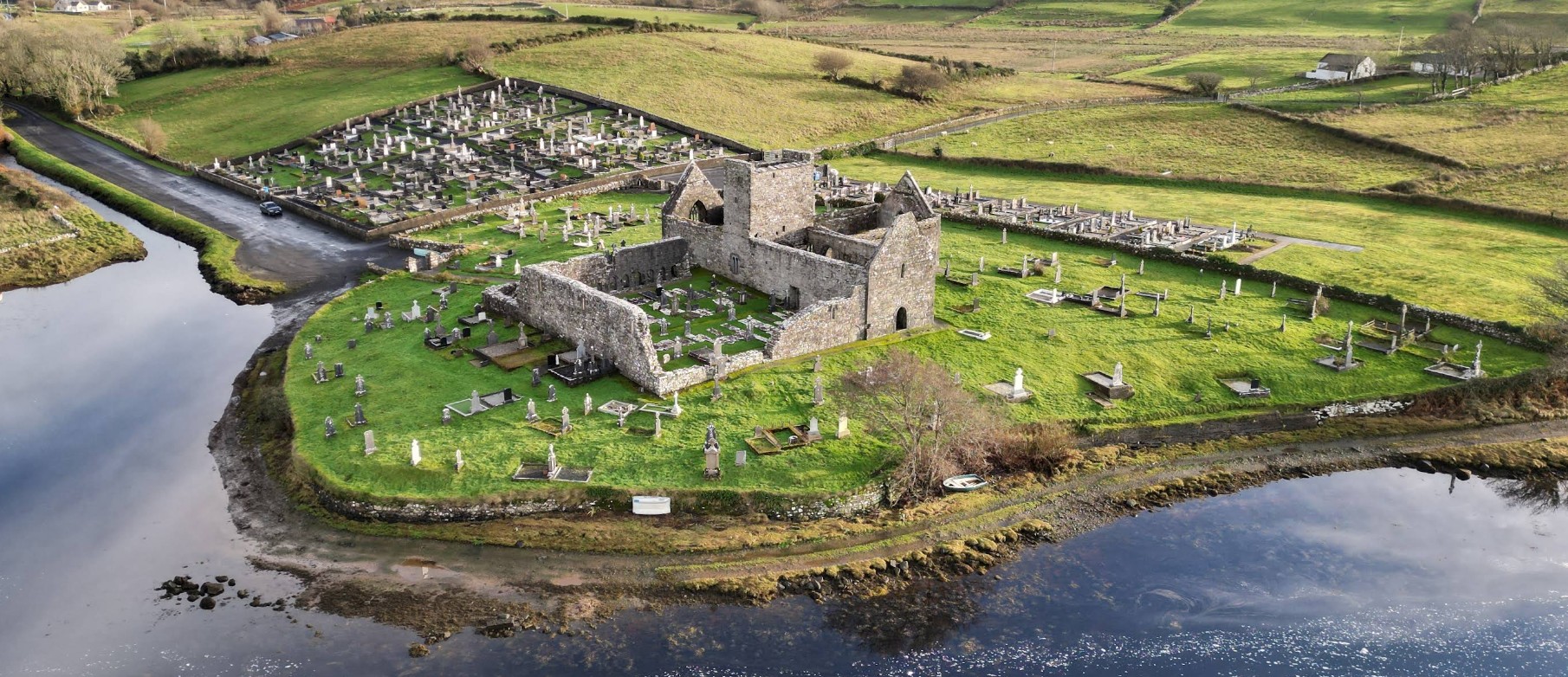
Most versions of the Wild Atlantic Way Ireland map highlight major stops such as Slieve League, Mizen Head, and the Cliffs of Moher. The more detailed map layers also reveal a wider range of places that deserve attention.
Some of these include places, such as Downpatrick Head in Mayo, Fanad Head in Donegal, the high trails around Glenveagh National Park, or quiet woodland pockets like Union Wood near Sligo. Many maps also highlight small access paths to viewpoints or short cliff walks that don’t always appear in guidebooks.
These stops matter when you are planning photography or timing. The Atlantic light shifts quickly, so knowing where the viewpoints are can make the difference between a forgettable stop and a sharp piece of luck with the weather.
How to use these maps when planning your Wild Atlantic Way trip
The best way to use the Wild Atlantic Way Ireland map is to combine the different versions.
Start with the overview map to choose your region, then switch to the route map to understand the peninsulas and detours. Bring in the cycle map if you prefer quieter roads or want greener, softer routes between villages.
Some travellers use cycle maps even when they are not cycling, simply because they highlight greenways and forest tracks that offer easy alternatives. Digital maps help with viewpoints, short cliff paths, and less obvious stops that are well worth the detour.
Weather changes fast on the west coast and good maps help you adjust. If the wind picks up on a headland, switch inland. If conditions look dramatic, pick out a high lookout and lean into it. Planning with both the main route and the smaller options makes the journey calmer.
Why these maps matter and where to stay on the Wild Atlantic Way
Good maps turn the Wild Atlantic Way from overwhelming to enjoyable. They help you follow the coastline at a comfortable pace and give you confidence when exploring quieter corners.
If you are travelling the Wild Atlantic Way and want a comfortable base, Above & Beyond has holiday homes that work well for couples, families, and groups. They offer independence, space, privacy, and the kind of comfort you want after a day of Atlantic weather. Have a look and find a place that works for your section of the route.